


![]()
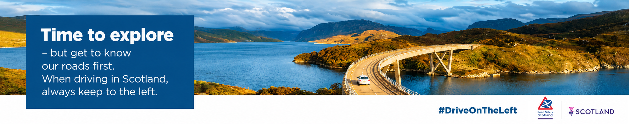
Angus sits between Dundee, Aberdeenshire and Perthshire, with the North Sea to the east and the Angus Glens rising inland. It is a council area with a clear physical sequence: coast, towns, farmland, then upland. That structure has shaped its economy and settlement for centuries.
Forfar is the administrative centre, while Arbroath, Montrose, Brechin, Carnoustie and Kirriemuir each carry distinct histories. The area does not depend on a single settlement for its identity. Instead, Angus is built from a network of towns, many of them linked to agriculture, textiles, fishing, transport or local government.
Arbroath holds one of the strongest historical associations in Scotland. In 1320, the Declaration of Arbroath was sent to Pope John XXII from Arbroath Abbey, making the town central to one of the most significant political documents of medieval Scotland. The abbey itself had been founded in 1178 by King William the Lion, anchoring the town in both ecclesiastical and national history.
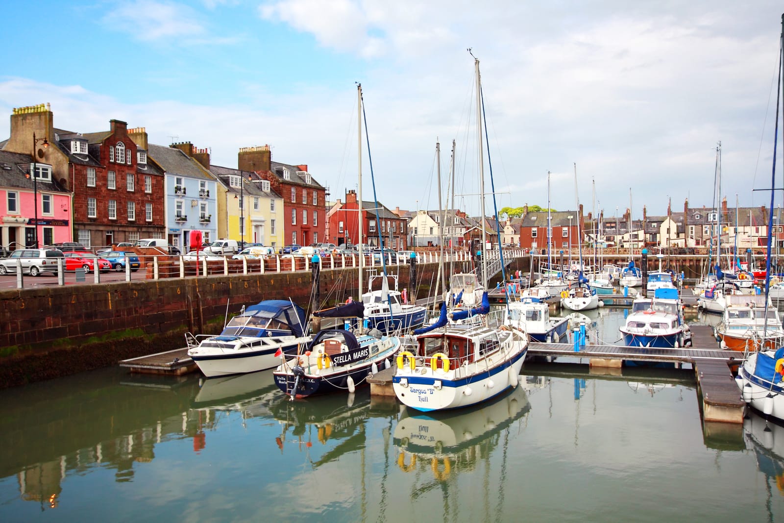
The coast remains important, particularly at Arbroath and Montrose. The Arbroath Smokie, protected by geographical status, reflects a fishing and curing tradition that remains closely tied to place. Montrose, with its basin and harbour, has long had a maritime and commercial role, while Carnoustie is known internationally through golf, especially the championship links course.
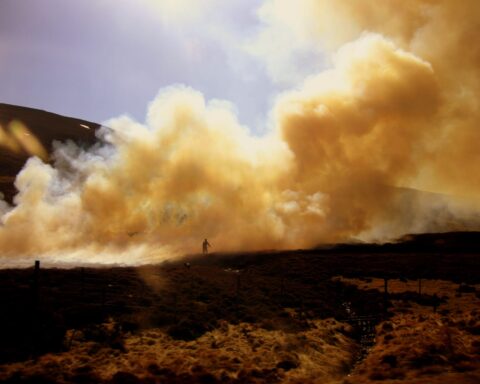
Inland Angus is agricultural, with farming and food production forming a lasting part of the economy. The Angus Glens extend northwards into the Cairngorms edge, giving the council area a sharper upland character than its lowland towns might first suggest. This is not a region of a single identity. It is a place where national history, working agriculture, coastal trade and upland landscape sit unusually close together.
Advertise in Angus
Limited advertising spaces for Scottish businesses, Scottish products and Scottish services. Each advert is reviewed before publication.