


![]()
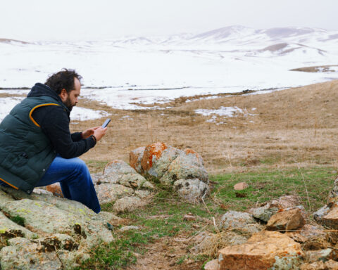
The Scottish Borders is one of Scotland’s largest council areas by land, stretching across the south east between Edinburgh, Dumfries and Galloway, Northumberland and the North Sea. It is a region of market towns, river valleys, hills, farms, abbeys and old routes. Newtown St Boswells is the administrative centre, though no single town dominates the area.
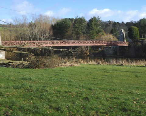
The Tweed is the central river of the Borders, shaping settlement, agriculture, textiles and identity. Towns such as Galashiels, Hawick, Kelso, Melrose, Peebles, Jedburgh and Selkirk each carry distinct histories. The area is polycentric, which gives it strength but also complicates transport and service delivery.
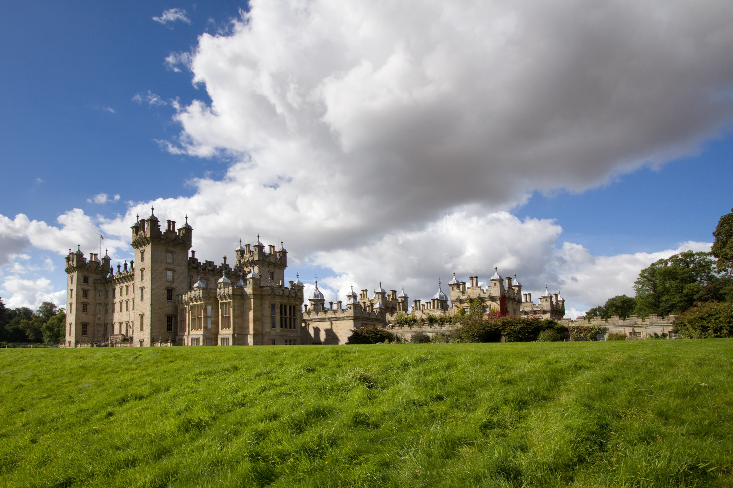
The Borders has a long and often violent history as frontier territory between Scotland and England. Castles, tower houses and reiver traditions reflect centuries in which landholding, raiding, defence and allegiance were unstable. The great abbeys of Melrose, Jedburgh, Dryburgh and Kelso point to another layer of medieval power, wealth and religious life.
Textiles became central to the modern economy, particularly in towns such as Hawick and Galashiels, where knitwear and tweed production developed strong reputations. That industry has declined from its earlier scale but remains part of the region’s identity and specialist economy.
The Borders Railway reopened in 2015 between Edinburgh and Tweedbank, restoring passenger rail to part of the region after decades without it. The reopening improved connectivity, though large parts of the Borders remain dependent on roads.
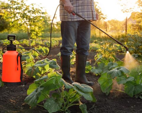
The Scottish Borders is often admired for landscape and heritage, but it is also a working rural region with dispersed settlement and practical constraints. Its beauty is real, but so is the difficulty of maintaining services across such a wide and historically layered territory.
Advertise in Scottish Borders
Limited advertising spaces for Scottish businesses, Scottish products and Scottish services. Each advert is reviewed before publication.