![]()
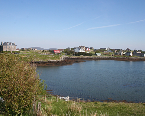
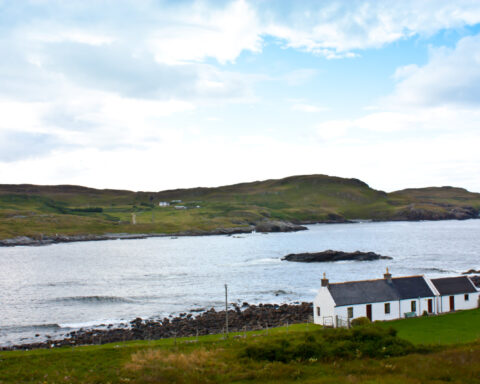
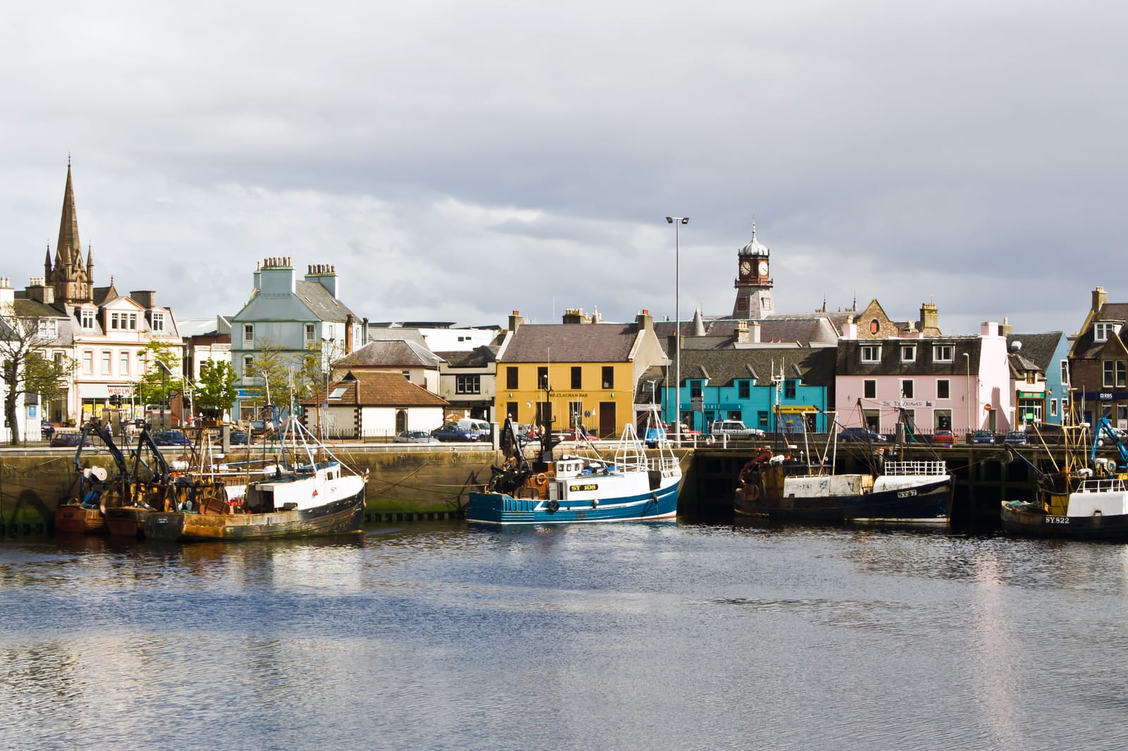
Na h Eileanan Siar, also known as the Western Isles or Outer Hebrides, forms one of Scotland’s most distinctive council areas. It stretches across a chain of Atlantic islands from Lewis and Harris in the north to Barra and Vatersay in the south. Stornoway is the administrative centre and largest settlement, but the council area is fundamentally an island chain, not a single land mass.
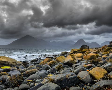
The geography is defining. Sea, machair, moor, crofting townships, causeways, ferry routes and air links all shape daily life. Distance between communities is not merely geographical. It is also logistical, cultural and economic.
The islands are among the strongest Gaelic speaking areas in Scotland. Gaelic remains central to cultural life, education, broadcasting and identity, though its position continues to require active support. Crofting also remains part of the social and land use structure, particularly in rural townships.
The historical landscape is exceptionally rich. The Callanish Stones on Lewis date from the Neolithic period and remain one of Scotland’s most important prehistoric monuments. Later Norse influence, medieval lordship, clan structures and the history of land reform all shaped the islands over many centuries.
The modern economy includes public services, fishing, aquaculture, crofting, tourism, construction, renewable energy and creative industries. Harris Tweed, protected by legislation and tied specifically to the Outer Hebrides, remains one of the world’s most recognisable textile traditions.
The Western Isles are sometimes described as remote, but that word is incomplete. They are Atlantic, Gaelic, maritime and connected through routes older than the modern mainland road system. Their distance is real, but their cultural weight is far greater than their population suggests.
Advertise in Na h-Eileanan Siar
Limited advertising spaces for Scottish businesses, Scottish products and Scottish services. Each advert is reviewed before publication.