


![]()
South Lanarkshire is one of Scotland’s larger council areas, stretching from the urban edge of Glasgow into rural Clydesdale and the Southern Uplands. Its administrative centre is Hamilton, but the council area contains several strong centres, including East Kilbride, Rutherglen, Cambuslang, Lanark and Carluke.
The area’s geography is unusually broad. The north west is closely tied to the Glasgow conurbation, while the south and east become more rural, with the River Clyde running through a landscape of towns, farms and former industrial communities. This gives South Lanarkshire a split character: metropolitan edge and rural county in one authority.
East Kilbride was designated Scotland’s first new town in 1947, intended to relieve overcrowding in Glasgow and create a planned modern settlement. Its development remains one of the major post war interventions in Scottish urban geography.
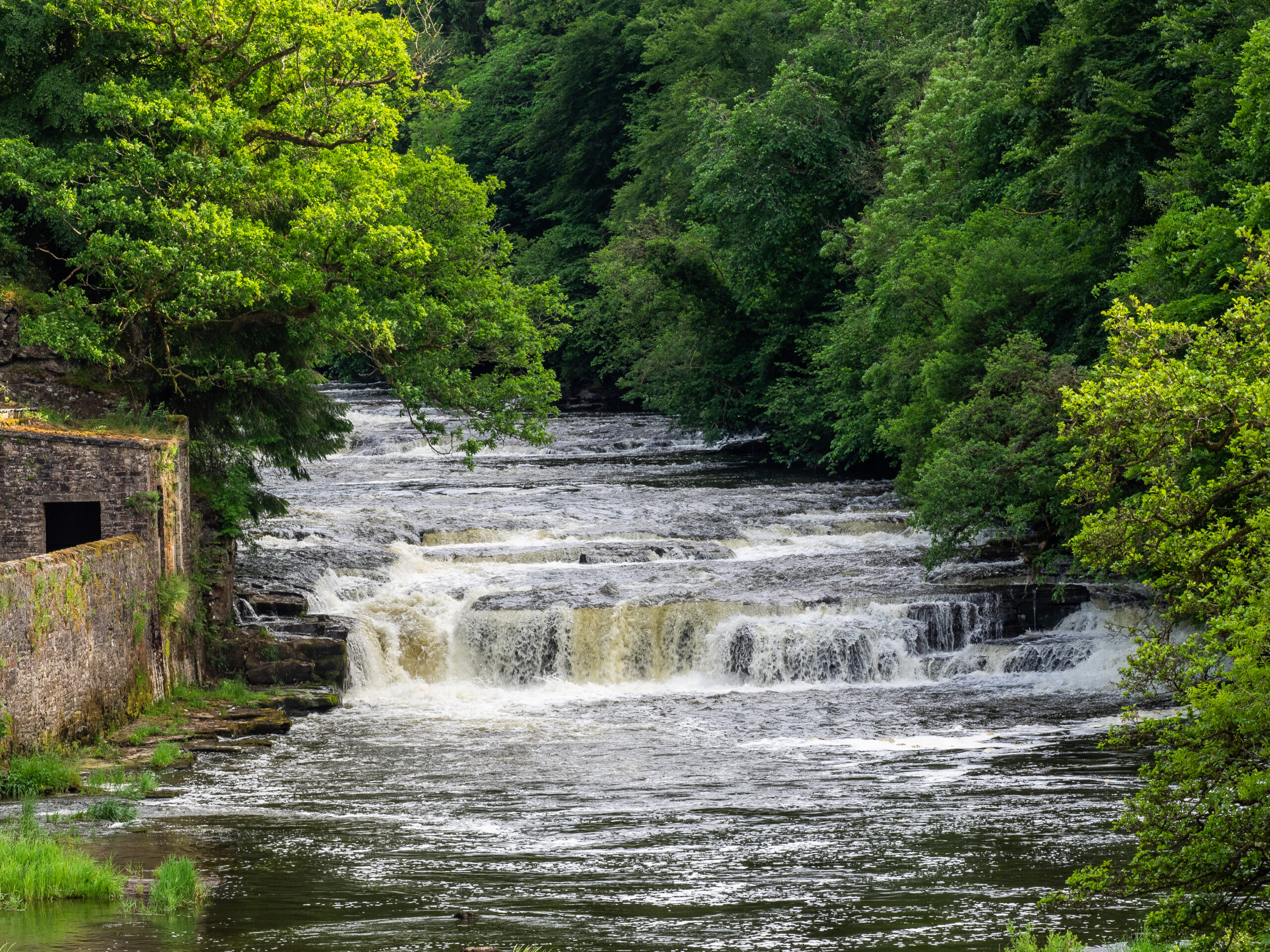
Lanark carries older historical weight. New Lanark, founded in the late eighteenth century as a cotton spinning village, became internationally associated with Robert Owen’s social reforms in the early nineteenth century. The village was inscribed as a UNESCO World Heritage Site in 2001, recognising its importance in industrial and social history.
Coal, steel, textiles, agriculture and manufacturing all shaped different parts of South Lanarkshire. The decline of heavy industry changed many communities, but did not remove the underlying settlement pattern. Transport links to Glasgow and the wider central belt remain crucial.
South Lanarkshire is too varied to be understood as simply suburban or rural. It is a council area built from industrial reform, new town planning, old burghs, commuter settlement and upland edges. Its complexity is the point.
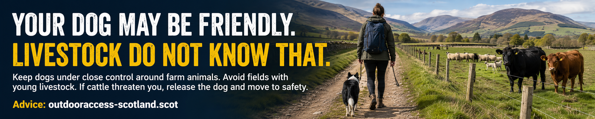
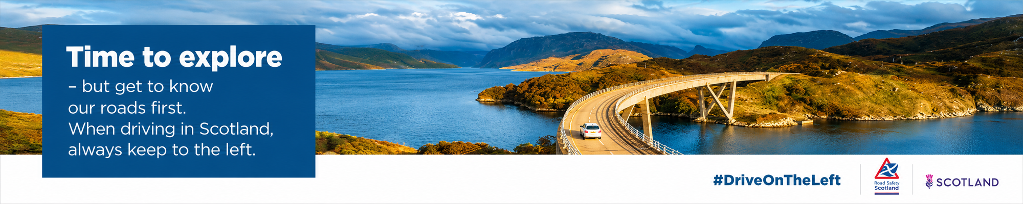
Advertise in South Lanarkshire
Limited advertising spaces for Scottish businesses, Scottish products and Scottish services. Each advert is reviewed before publication.