


![]()
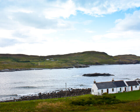
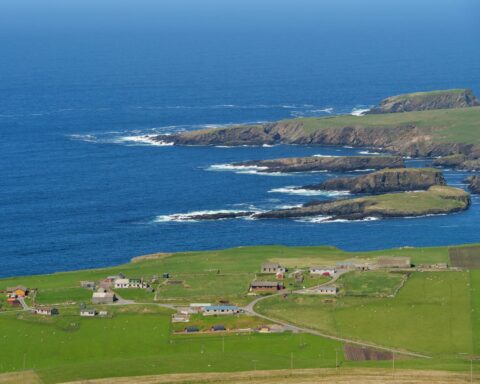
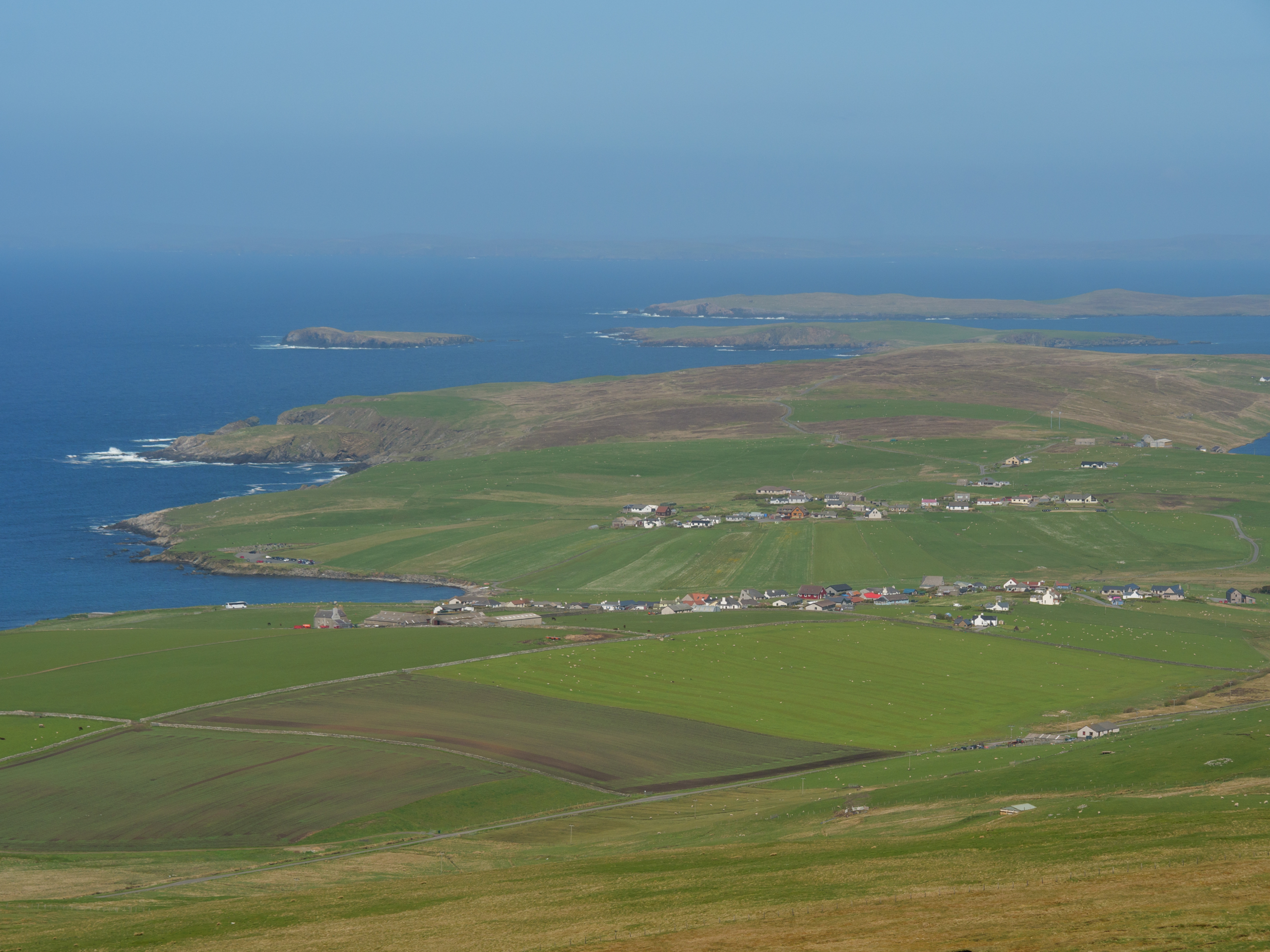
Shetland Islands form the northernmost council area in Scotland, lying far out in the North Atlantic between mainland Scotland, Norway and the Faroe Islands. Lerwick is the administrative centre and main town, but the islands are defined by a wider network of settlements, harbours and ferry connected communities.
Shetland’s history carries a strong Norse inheritance. The islands were under Norse control for centuries before becoming part of Scotland in the fifteenth century. Place names, dialect, archaeology and cultural traditions still reflect that northern connection. Jarlshof, with remains spanning thousands of years, is one of the clearest archaeological demonstrations of long occupation.
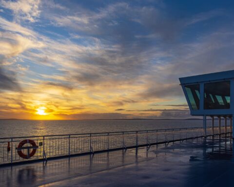
Geography governs much of Shetland’s public life. The islands are exposed, dispersed and maritime. Internal ferries and air links are essential for movement, while external connections to mainland Scotland carry strategic importance for freight, health, education and ordinary travel.
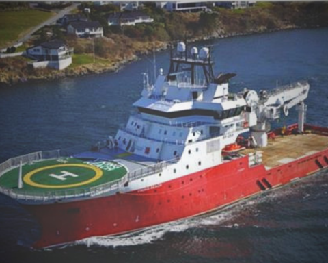
The modern economy includes fishing, aquaculture, agriculture, public services, tourism and energy. The Sullom Voe oil terminal, developed in the late twentieth century, made Shetland central to the North Sea oil industry. That brought revenue, infrastructure and change, but also tied the islands to the fortunes of offshore energy.
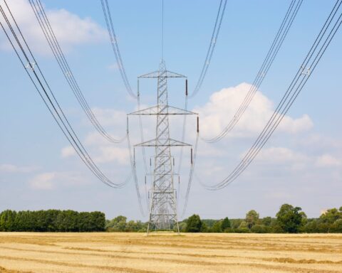
Shetland also has growing relevance in renewable energy and subsea infrastructure, though these developments sit alongside persistent questions about community benefit, landscape and grid connection.
Shetland is not remote from its own perspective. It sits in the middle of northern sea routes and has long looked outward. Its distance from Edinburgh is real, but it is not the only measure of the place.
Advertise in Shetland Islands
Limited advertising spaces for Scottish businesses, Scottish products and Scottish services. Each advert is reviewed before publication.