


![]()
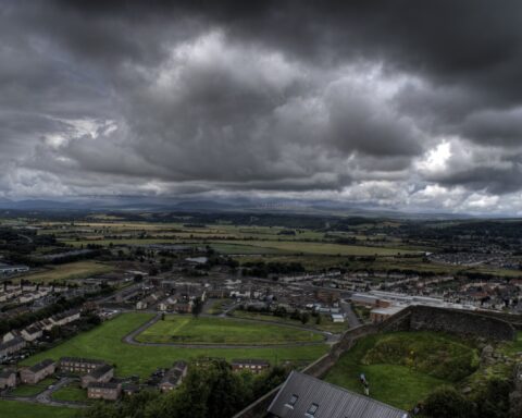
Stirling occupies one of the most strategically important positions in Scotland. The council area stretches from the central belt into rural and Highland edge landscapes, but its identity is anchored by Stirling itself, a city whose castle and river crossing gave it national significance over many centuries.
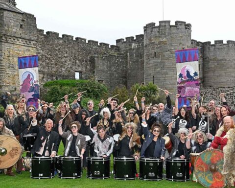
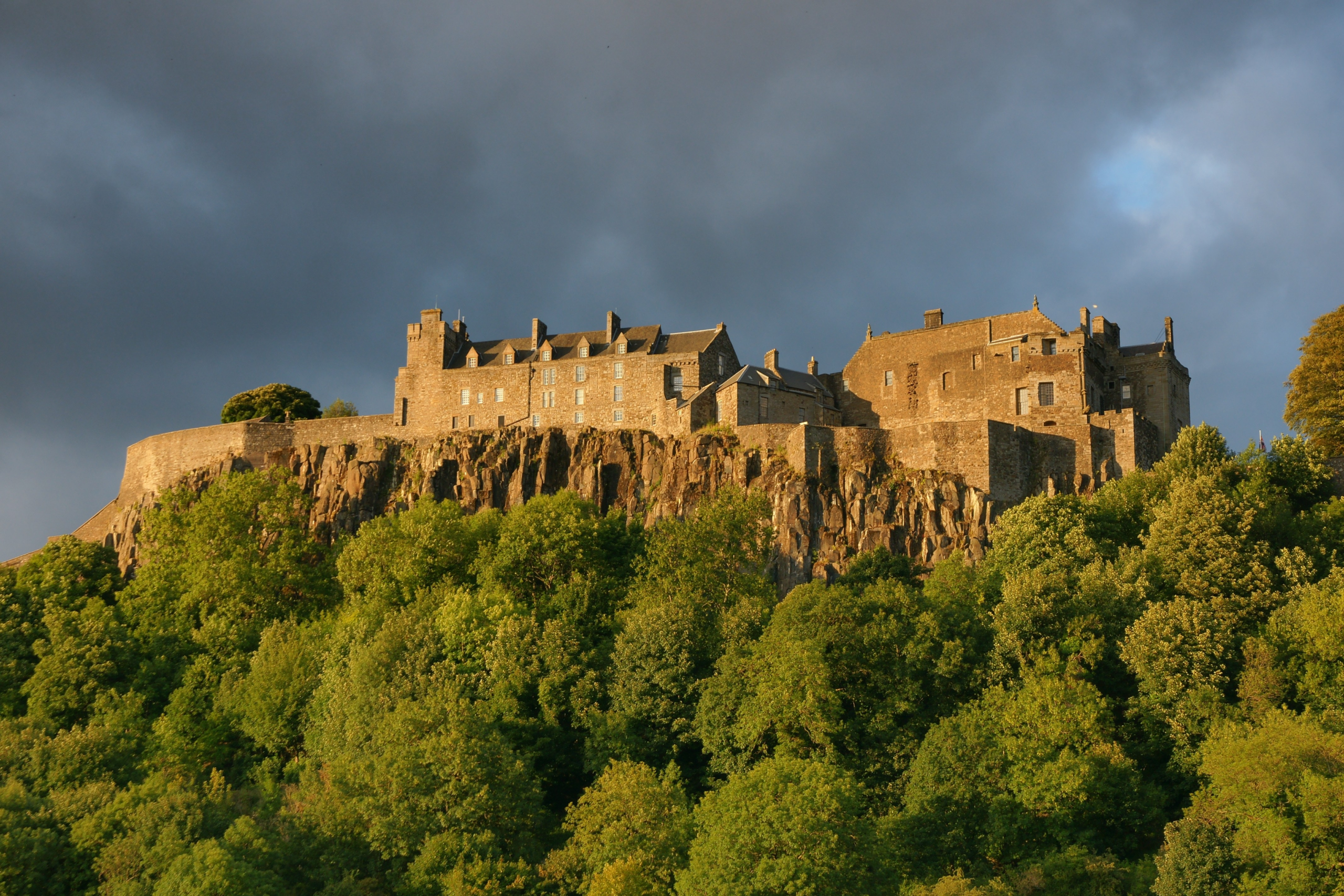
Stirling sits near the lowest historic crossing points of the River Forth, which made it a place of military and political importance. Stirling Castle was one of the great royal strongholds of Scotland, and the surrounding area is associated with decisive moments in national history. The Battle of Stirling Bridge in 1297 and the Battle of Bannockburn in 1314 remain central to Scotland’s medieval memory.
The modern council area includes towns and communities such as Bridge of Allan, Dunblane, Callander, Balfron and Killin. This gives it a wide physical range, from urban and university settlement to the Trossachs and rural western areas. The University of Stirling, founded in 1967, added a modern institutional layer to a place already rich in civic history.
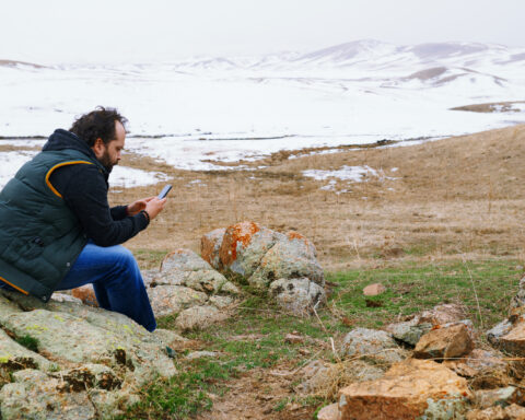
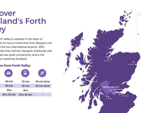
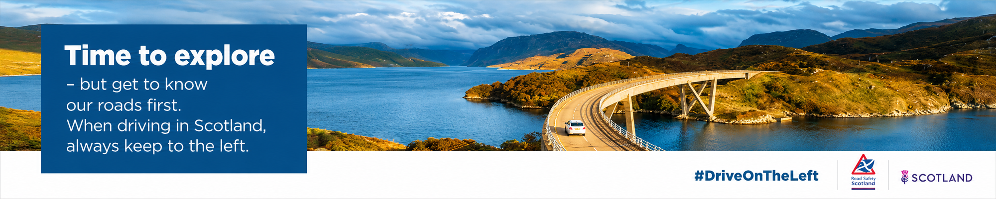
The geography matters profoundly. Stirling is a gateway between lowland and Highland Scotland, between central Scotland and the west. The Trossachs and Loch Lomond and The Trossachs National Park shape part of the council area’s western identity, linking it to tourism, conservation and rural land management.
The economy includes public services, education, tourism, agriculture, retail and commuting. The city’s historic importance draws visitors, but the council area also contains ordinary pressures around housing, transport, rural services and environmental management.
Stirling is often presented through castle and battlefield, but its importance is more structural than symbolic. It is a place where Scotland narrows, crosses and turns.
Advertise in Stirling
Limited advertising spaces for Scottish businesses, Scottish products and Scottish services. Each advert is reviewed before publication.