

![]() Clackmannanshire sits in the centre of Scotland, bounded by larger neighbours, carrying a name that rarely appears beyond its immediate surroundings. It is also the smallest council area on mainland Scotland, covering roughly 159 square kilometres, a fact that tends to define it before anything else is said. In mid 2022 the population was estimated at around 51,400, a figure that has changed only gradually over recent decades.
Clackmannanshire sits in the centre of Scotland, bounded by larger neighbours, carrying a name that rarely appears beyond its immediate surroundings. It is also the smallest council area on mainland Scotland, covering roughly 159 square kilometres, a fact that tends to define it before anything else is said. In mid 2022 the population was estimated at around 51,400, a figure that has changed only gradually over recent decades.
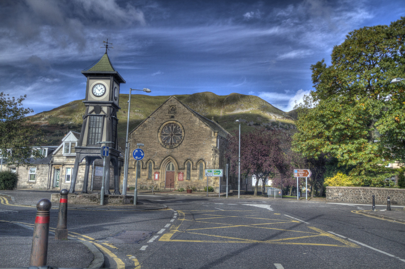
Its administrative centre is Alloa, which became the focus of local government during the nineteenth century as industrial activity shifted the balance away from the older burgh of Clackmannan. Today Alloa remains the main town, with a significant share of the population living in and around it, and with most services organised from there.
The shape of the area is immediately legible. The Ochil Hills rise along the northern edge, forming a clear boundary that separates upland from the lower ground beneath. Below them, the land opens out into a flatter landscape shaped by the River Devon and its tributaries, including the Black Devon, which move south towards the River Forth. The Forth forms the southern boundary and has long influenced how the area has been settled and used. At the centre, Gartmorn Dam, constructed in 1714 to supply water for local industry, now functions as a managed reservoir and public space.
Settlement is close and continuous rather than scattered. Alloa connects directly with Tullibody and Sauchie, forming a compact urban area. Along the base of the Ochils, a line of villages runs from Tillicoultry through Alva to Menstrie, following the natural break between hill and lowland. Clackmannan, which gives the county its name, held administrative importance until the nineteenth century, and retains historic buildings that reflect that earlier status.
The area has been inhabited for centuries and formed part of the territory associated with early Scottish kingdoms during the first millennium. Accounts exist of early conflicts in the region, including traditions linked to the unification of the Picts and Scots in the ninth century, though these accounts are not always precise in detail. The name itself reflects layers of history, combining Gaelic “clach”, meaning stone, with references to earlier peoples, and the later administrative term “shire”.
Economic activity developed through a combination of agriculture, mining and industry. Coal extraction expanded during the eighteenth and nineteenth centuries and became a central part of the local economy. Alloa grew as a port on the River Forth, with shipping activity increasing during the nineteenth century before declining in the twentieth. Glass manufacturing has a long presence in the area, with works established in Alloa in the eighteenth century and continuing in various forms into the present.
Transport links are more substantial than the size of the area might suggest. Passenger rail services to Alloa were withdrawn in 1968 and later restored when Alloa railway station reopened in 2008, reconnecting the area to Stirling and the wider network. In the same year, the Clackmannanshire Bridge opened across the Forth, providing an additional crossing to reduce congestion on the Kincardine Bridge and improve regional movement.
Clackmannanshire is small, but that description only partly explains it. The distances are short, the settlements close, and the structure of the area is compact. Yet it functions as a complete unit, with its own administration, infrastructure and economic activity. It does not expand beyond its boundaries, but within them it continues to operate, largely unchanged in scale, and largely unnoticed outside it.
Advertise in Clackmannanshire
Limited advertising spaces for Scottish businesses, Scottish products and Scottish services. Each advert is reviewed before publication.