

![]()
Highland is vast even by Scottish standards. It is the largest council area in the United Kingdom by land area, stretching from the Cairngorms to the north coast, from the Great Glen to the west coast and across some of the most sparsely populated terrain in Europe. Its administrative centre is Inverness, but the council area is far too large and varied to be understood through one city alone.
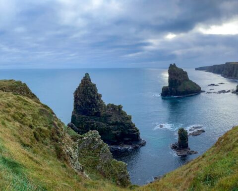
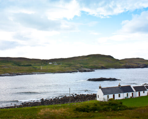
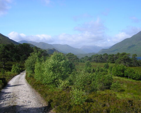
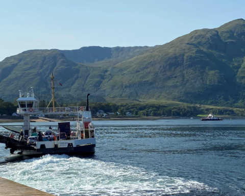
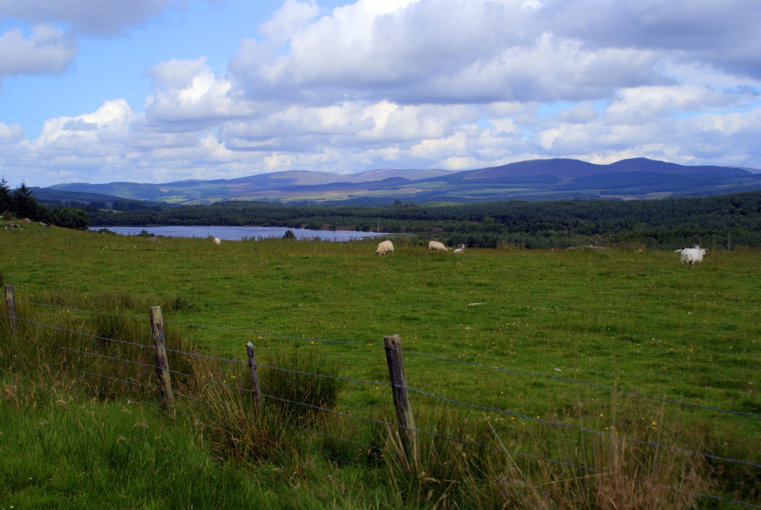
The geography is overwhelming in scale. Highland includes mountains, glens, sea lochs, islands, crofting townships, fishing ports, forests and long stretches of open moor. Distance is one of its defining facts. Public services, transport, health care, housing and energy all operate under conditions that differ markedly from the central belt.
Inverness has grown into the main urban centre of the north and was granted city status in 2000. It serves as a transport, administrative, retail and health centre for a wide hinterland. Yet places such as Fort William, Wick, Thurso, Ullapool, Aviemore, Portree and Dingwall each serve territories of their own.
The historical layers are deep and sometimes painful. The region includes areas shaped by clan society, Jacobite conflict, military road building and the Highland Clearances. Culloden, near Inverness, was the site of the 1746 battle that ended the Jacobite rising and became one of the defining events in Highland and Scottish memory.
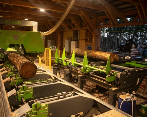
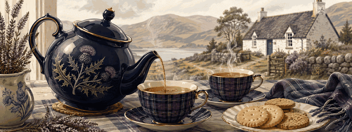
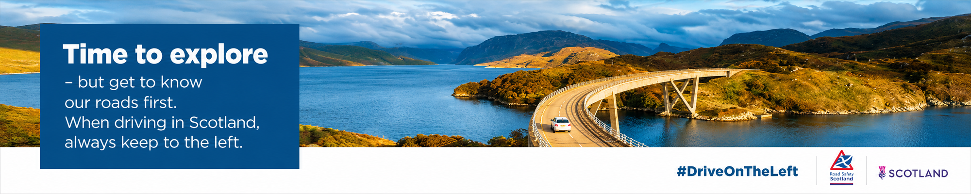
The modern economy includes tourism, agriculture, crofting, renewable energy, forestry, food and drink, public services and defence related activity. The North Coast 500 has brought international attention to parts of the region, along with pressure on roads, housing and local services. Highland is often sold as landscape, but it is also a working territory. Its beauty is inseparable from the difficulty of sustaining life across such distance.
Advertise in Highland
Limited advertising spaces for Scottish businesses, Scottish products and Scottish services. Each advert is reviewed before publication.