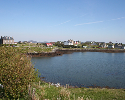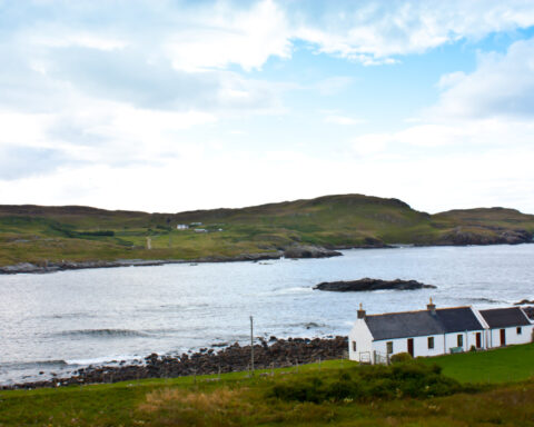


Argyll and Bute is not easily reduced to a single line on a map. It is one of Scotland’s most geographically complex council areas, spread across mainland peninsulas, sea lochs and islands, with communities often connected as much by water as by road. Its administrative centre is Lochgilphead, but no one town can fully contain the area’s identity.
The council area includes much of mainland Argyll, the Cowal peninsula, Kintyre, Mid Argyll, Lorn, Bute, Mull, Islay, Jura, Coll, Tiree and a series of smaller islands. This gives it a fragmented but coherent geography, shaped by the Atlantic, the Firth of Clyde and the long sea routes of western Scotland. Distance here is not measured only in miles. It is measured in ferry crossings, weather, harbour access and the reliability of routes.
Historically, the area sits close to the heart of Gaelic Scotland. Dál Riata, the early medieval kingdom associated with Argyll and Antrim, is part of the deeper historical landscape, while later lordships, clans and ecclesiastical centres shaped the region over many centuries. Iona, now within Argyll and Bute, became one of the most important religious sites in early medieval Britain and Ireland after Columba’s arrival in 563.
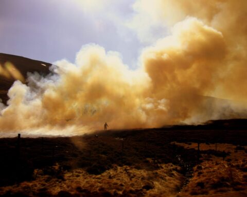
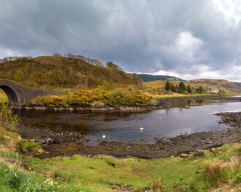
The economy has long combined land, sea and movement. Fishing, farming, forestry, whisky, tourism, marine work and public services all remain important, though their balance varies sharply from place to place. Islay’s whisky industry is internationally recognised, while towns such as Oban function as transport and service centres for a wider island hinterland.
Argyll and Bute is often described as remote, but that word can mislead. The area has always been connected, though through routes that do not resemble the central belt. Its geography is difficult, but not empty. It is a region of crossings, margins and continuities, where the sea separates communities and holds them together.
Advertise in Argyll and Bute
Limited advertising spaces for Scottish businesses, Scottish products and Scottish services. Each advert is reviewed before publication.