


![]()
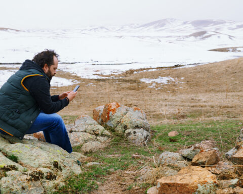
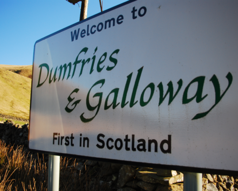
Dumfries and Galloway occupies Scotland’s south west, a wide council area running from the English border to the Irish Sea and from upland interior to coastal settlements. It is one of the country’s more expansive local authority areas, but its population is scattered, giving it a rural character that shapes public services, transport and economic life.
Dumfries is the administrative centre and largest town. Stranraer, Annan, Lockerbie, Castle Douglas, Kirkcudbright and Newton Stewart each serve different parts of the region. The area’s settlement pattern reflects distance and local function rather than metropolitan pull. Many communities look to nearby towns for services, but the region as a whole has no single urban centre capable of dominating it completely.
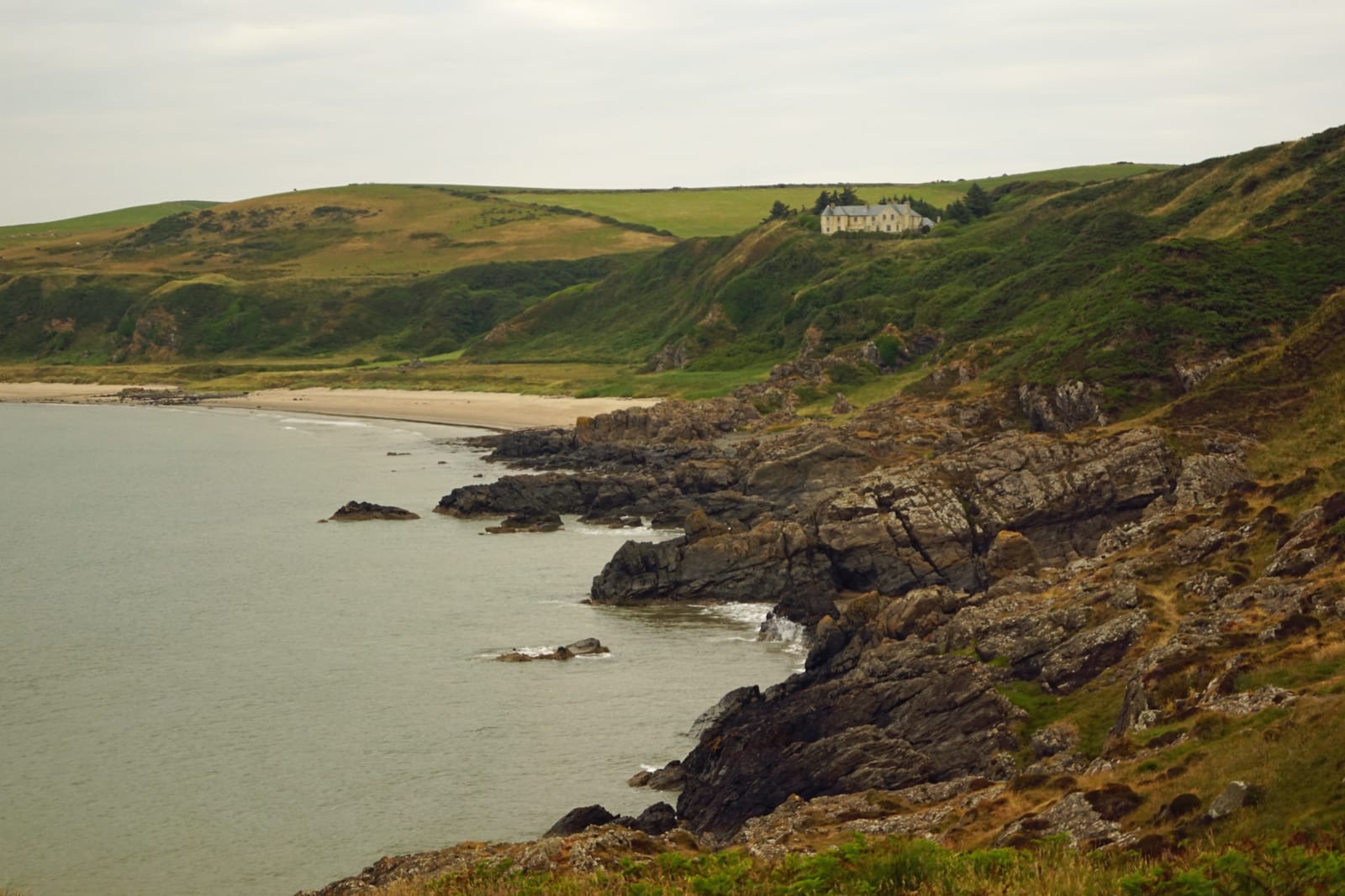
Historically, Dumfries and Galloway has been a border and coastal region. Its position between Scotland, England, Ireland and the Solway Firth gave it a strategic significance over many centuries. The name Galloway reflects a distinct historical territory, with Gaelic, Norse and later feudal influences layered into its development. Dumfries is closely associated with Robert Burns, who lived there in the final years of his life and died in the town in 1796.
Agriculture remains central, especially dairy, livestock and land based production. The region is also known for forestry, tourism, food, coastal activity and cultural heritage. Kirkcudbright developed a reputation as an artists’ town, while Wigtown is known as Scotland’s National Book Town, a title formally adopted in the late twentieth century as part of a cultural regeneration effort.
Transport is one of the region’s persistent questions. The A75 and A77 link ferry routes, ports and communities, while rail connections are limited compared with the central belt. Dumfries and Galloway is not isolated, but it is spread thinly over a large area. Its scale gives it breadth and beauty, but also leaves many of its practical pressures quietly unresolved.
Advertise in Dumfries and Galloway
Limited advertising spaces for Scottish businesses, Scottish products and Scottish services. Each advert is reviewed before publication.