
Fifty publicly funded mobile masts have been activated across rural Scotland, extending access to all four major mobile networks.
The latest site is near Branault on the Ardnamurchan peninsula.
Other upgrades cover parts of Arran, Islay and Jura, Tarbert on the Kintyre peninsula and the Duke’s Pass in Loch Lomond and the Trossachs National Park.
Together, the 50 sites are expected to provide four-network 4G coverage across more than 1,900 sq km.
The work forms part of the Shared Rural Network, a £1bn agreement announced in 2020 between the UK government and EE, O2, Three and Vodafone.
The operators committed more than £530m to improve their own networks, while more than £500m in public funding was directed towards areas considered unlikely to attract commercial investment.
Most of the Scottish sites are upgrades to existing masts rather than new structures.
Many previously served EE customers and emergency services but have now been adapted to carry the other networks.
More than 140 publicly funded upgrades have been completed across Great Britain, including 50 in Scotland.
For rural communities, the practical effect can be significant.
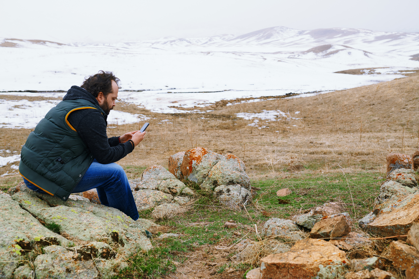
Improved coverage can help businesses take card payments, manage deliveries and contact staff working alone. It can also allow drivers, walkers and others in remote areas to report accidents, share their location and access maps.
Government research has found that poor mobile coverage is a particular concern for people working alone in agriculture and forestry, and for those taking part in outdoor activities.
Respondents also linked stronger coverage with better access to services, more opportunities for mobile working and reduced isolation.
The latest upgrades are part of a longer effort to improve rural connectivity in Scotland.
The Scottish government published its Mobile Action Plan in 2016 and launched the Scottish 4G Infill programme two years later.
That scheme invested £28.75m in 55 masts serving rural and island areas which had previously lacked 4G coverage. All were operating by 2024.
The figures show clear progress, although they also reveal the scale of the remaining problem.
In 2020, Ofcom estimated that 81% of Scotland’s landmass had good 4G coverage from at least one operator, but only 44% was covered by all four.
By July 2025, all-operator geographic coverage had risen to 67%.
Scotland still remained behind Wales, Northern Ireland and England, where the equivalent figures were 77%, 85% and 90%.
Ofcom also reported that 99% of Scottish premises had predicted outdoor 4G coverage from all four operators in 2025.
The difference reflects Scotland’s settlement pattern. Most homes may be covered while large stretches of mountain, moorland, forestry and remote roads remain outside one or more networks.
Coverage figures also do not guarantee reliable indoor reception.
Signal strength can still be affected by terrain, building materials, distance from a mast and the network being used.
In June 2025, the UK government and mobile operators agreed to reduce the number of entirely new masts planned for remote parts of Scotland.
The remaining investment is being redirected towards places where people live, work and travel regularly.
The revised plans include parts of Glen Coe, Wester Ross, Loch Lomond and the Trossachs, Mull, South Uist and Skye.
The activation of the fiftieth site marks substantial progress.
Scotland has moved from a position where fewer than half of its landmass could receive 4G from every operator to one where the figure is approaching seven in ten.
The hardest gaps are likely to be the last ones left.
Significant parts of the Highlands and Islands continue to experience unreliable indoor reception, while some isolated areas still depend on a single operator or have no dependable signal at all.
Upgraded mast locations
| 1 | Lockerbie – Dumfriesshire, Clydesdale and Tweeddale |
| 2 | Ettrick Valley – Berwickshie, Roxburgh and Selkirk |
| 3 | Ayrshire – Ayr, Carrick and Cumnock |
| 4 | Crosslee – Selkirk, Scottish Borders |
| 5 | Duns – Scottish Borders |
| 6 | Kelso – Roxburghshire |
| 7 | Lockerbie – Dumfries & Galloway |
| 8 | Campbeltown – Argyll and Bute |
| 9 | West Buccleuch – Berwickshire, Roxburgh and Selkirk |
| 10 | Acharacle – Argyll and Bute |
| 11 | Southend, Campbeltown – Argyll and Bute |
| 12 | A849, Isle of Mull – Argyll and Bute |
| 13 | Minor road from A848, near Salen, Isle of Mull |
| 14 | Brechin – Angus and Perthshire Glens |
| 15 | Forestry Track of A890 Strome Ferry near Kyle of Lochalsh – Inverness, Skye and West Ross-shire |
| 16 | Bothwell Hill – Berwickshire, Roxburgh and Selkirk |
| 17 | Tundergarth – Dumfriesshire, Clydesdale and Tweeddale |
| 18 | Girvan – South Ayrshire |
| 19 | Kirriemuir – Angus |
| 20 | Newton Stewart – Dumfries and Galloway |
| 21 | Duns – Lothian East |
| 22 | Land off B8007, Near Glenborrodale – Argyll, Bute and South Lochaber |
| 23 | Off B8083, Srathaird, near Elgol – Isle of Skye |
| 24 | Langburn Sheils, Hawick – Roxburghshire |
| 25 | Strathconnan – Muir of Ord |
| 26 | Camas-Luinie – Near Dornie |
| 27 | Lammermuir – Scottish Borders |
| 28 | Off B955, Kirriemuir – Angus, |
| 29 | Near Dykehead – Angus |
| 30 | Innerleithen – Scottish Borders |
| 31 | Tarskavaig – Isle of Skye |
| 32 | Near Heriot – Scottish Borders |
| 33 | Kinlochspelve – Isle of Mull |
| 34 | Southend, Campbeltown – Argyll & Bute |
| 35 | Land at Bunessan – Isle of Mull |
| 36 | Near Kingie, Glen Garry, PH35 4HS – Inverness, Skye and West Ross-shire |
| 37 | Torrin – Isle of Skye |
| 38 | Isle of Jura – Argyll & Bute |
| 39 | Jedburgh , Roxburghshire |
| 40 | Isle of Jura, Argyll & Bute, |
| 41 | Strathcarron – Inverness, Skye and West Ross-shire |
| 42 | Barr – Ayrshire |
| 43 | Kelsay – Isle of Islay |
| 44 | Newcastleton – Roxburghshire |
| 45 | Tarbert – Argyll, Bute and South Lochaber |
| 46 | Dukes Pass – Stirling |
| 47 | Loch Muick – West Aberdeenshire and Kincardine |
| 48 | Strathconon, Contin – Ross-shire |
| 49 | Sliddery, Arran – North Ayrshire |
| 50 | Branault, West Ardnamurchan |
Sources
https://www.gov.uk/government/news/shared-rural-network
https://www.gov.uk/guidance/update-on-shared-rural-network-total-not-spots-project
https://www.gov.scot/publications/mobile-action-plan/