
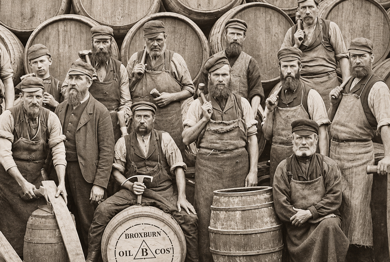
Long before North Sea oil transformed Scotland’s economy, an extraordinary industry was flourishing in the fields and villages of West Lothian. Thousands of people worked underground, in refineries and in chemical plants, producing oil from stone.
Much of that industry has disappeared. Its mines have closed, its machinery has been dismantled and entire communities have changed beyond recognition. Yet its history remains remarkably accessible through a Scottish website that deserves to be much better known.
Scottish Shale, created and maintained by the Museum of the Scottish Shale Oil Industry at Almond Valley Heritage Centre in Livingston, is one of the most absorbing industrial history resources available online.
The site contains photographs, maps, company documents, biographies, employment records and detailed investigations into places that have almost vanished from the Scottish landscape.
It is possible to begin by looking up an old mine and, half an hour later, find yourself reading about a forgotten township, an abandoned road across the Pentlands or a young woman who once worked in a factory making washing-up liquid.
That is what makes Scottish Shale exceptional. It is not simply a collection of industrial machinery and production statistics. It preserves the lives of people who belonged to a world that Scotland has largely left behind.
The Industry That Came Before North Sea Oil
The foundations of the Scottish shale oil industry were laid by James Young, the chemist and entrepreneur whose experiments with mineral oils helped establish commercial refining in the nineteenth century.
In 1851, Young began producing oil and associated products at Bathgate using cannel coal. As suitable coal supplies dwindled, attention turned increasingly to oil-bearing shale.
Rather than pumping petroleum from underground reservoirs, workers mined the rock and heated it in retorts to release its oil.
From the 1860s, mines and processing works spread across West Lothian and neighbouring districts. The industry produced lamp oil, lubricants, paraffin wax and chemical products, while its spent shale accumulated in enormous heaps known as bings.
Those bings remain among the most recognisable features of the West Lothian landscape. The red Five Sisters near West Calder are particularly distinctive.
Scottish Shale explores the industrial structures behind them, but also the villages constructed to accommodate workers and the complicated relationship between employment, housing and the companies that controlled both.
Its collections include surviving company records and material from the BP shale archive. The museum’s collection is recognised as nationally significant.
For anyone researching a family connection with the industry, the website can be especially rewarding. Although many original employment records have been lost, the surviving material includes salary books, accident records, tenancy documents and individual employee information.
The archive also explains how the decline of the industry led workers and their families to move elsewhere, carrying the history of Scotland’s shale communities far beyond West Lothian.
The Women Who Made Scotland’s Wonder Detergent
One particularly engaging discovery concerns the women who worked at Pumpherston after the Second World War.
With soap still rationed, chemists developed a synthetic detergent from products associated with oil refining. A new venture began producing the detergent at Pumpherston, initially under the name Iranopol before it became By-Prox.
It was a striking development for an industry associated primarily with underground miners and heavy industrial work.
The new product created employment opportunities for local women, including Janet Clark from Uphall.
Janet was 18 when she began working at the detergent plant. Her grandfather and father had both been connected with the shale industry, but her own work involved filling bottles, attaching labels and preparing the finished detergent for distribution.
The website preserves photographs of the workers, their dances and the factory’s everyday activities.
Janet eventually left the plant to marry in 1950. One surviving photograph records an unusual workplace celebration: her colleagues dressed her in a bridal veil and paraded her around the works before she departed.
It is a small episode, but precisely the sort of detail that official industrial histories can overlook.
Through such recollections, Scottish Shale captures not only what factories made but what it was like to work inside them.
A Lost Community Beneath the Moor
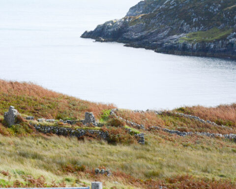
Elsewhere on the website is an investigation into Whitelachlens, a vanished settlement on the moorland near the Pentland Hills.
The name appears in bewilderingly different forms on historical maps, including Whitelochnees, Whitelochley, Whitelocklees and Whiteloch Inn.
In 1802, an advertisement described Whitelachlens as a property of 190 acres forming part of the Dalmahoy estate.
Early maps suggest that several buildings and fields once occupied the area. By the middle of the nineteenth century, much of the settlement had disappeared.
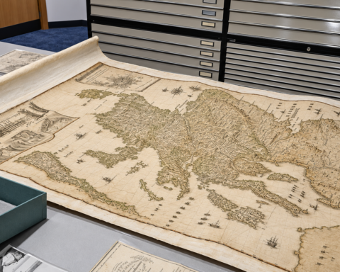
The museum’s researchers have examined old maps alongside modern aerial laser-scanning data, known as LiDAR, which can reveal subtle remains of buildings, boundaries and agricultural activity beneath the vegetation.
The results suggest the presence of a small farming community that ordinary maps can no longer adequately describe.
Not every feature can be identified with certainty. Some may be former houses, tracks or field boundaries; others would require archaeological investigation.
That uncertainty is part of the appeal. The website allows readers to follow the evidence, consider the possible explanations and understand how easily an inhabited place can vanish from public memory.
The Road That Went Nowhere
Another fascinating investigation concerns Camilty Bridge, built across the Linhouse Water in 1830.
Its builders apparently intended it to form part of a substantial new road through the Pentland Hills, improving the connection between central Scotland and the Borders.
The bridge was an impressive piece of engineering, with a broad roadway, carefully constructed approaches and a substantial stone arch.
The project was never completed.
Much of the proposed route remained unfinished, leaving an expensive bridge and a short length of ambitious highway stranded in the countryside.
By the twentieth century, the bridge had become little more than a curiosity. Its arch progressively deteriorated and the surviving structure eventually collapsed into the river.
Scottish Shale reconstructs the enterprise through historical maps, photographs and contemporary descriptions.
It is the sort of overlooked local mystery that can occupy an entire afternoon.
A Museum That Extends Beyond Its Walls
What distinguishes Scottish Shale from many heritage websites is the depth of the research.
The archive connects people with places, businesses with their employees, and surviving buildings with the records that explain why they existed.
It also encourages visitors to contribute information and investigate their own family and local histories.
The physical museum at Almond Valley Heritage Centre remains the home of the collections, but its website makes an enormous amount of material accessible to people who may never have the opportunity to visit Livingston.
That accessibility matters. The shale oil industry helped shape Scotland’s industrial development, its communities and its international technical reputation. Its decline left behind a landscape that is still marked by its activities.
Scottish Shale makes that landscape readable again.
For anyone with an interest in Scottish history, family research, industrial archaeology or simply unusual stories about forgotten places, it is a website worth exploring slowly.
Website: www.scottishshale.co.uk