
There is something rather extraordinary about being able to stand in your own street, look at the houses, shops and roads around you, and then discover what occupied the same ground a hundred and fifty years ago.
Perhaps there was a farm where your house now stands. Perhaps a railway ran through what has become a garden. Perhaps the street itself did not exist, or the familiar burn at the bottom of the road once followed an entirely different course.
The National Library of Scotland has created one of the most absorbing websites for anyone interested in these questions.
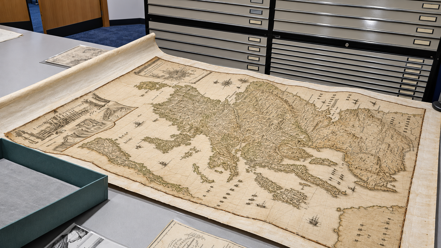
Its online Map Images collection contains more than 400,000 historical maps, many of them available to examine in remarkable detail. They include maps of Scottish towns, villages, farms, estates, coastlines, roads and landscapes extending back centuries.
The pleasure of the website is not simply that these old maps have survived. It is what visitors can do with them.
Scotland Then and Now
One of the most impressive features is the Side by Side map viewer.
The concept is beautifully simple. An old map appears alongside a modern map or satellite image of precisely the same location.
Move across the landscape and the two views move together. Zoom in on a particular street and both maps follow. The central dividing line can also be adjusted to reveal how the same ground has changed.
A familiar modern neighbourhood suddenly becomes an archaeological investigation conducted from the comfort of a chair.
A railway station may appear on one map and disappear on the next. A substantial country house might occupy land now divided into streets. Former quarries, factories, schools, mills and tramways can be identified, often in astonishing detail.
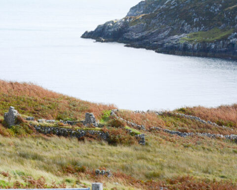
In the Highlands, the experience can be particularly revealing.
Old maps show farm settlements, tracks, field boundaries and estate buildings, providing clues to the organisation of landscapes that may now appear almost empty.
The names themselves can be fascinating. A small cluster of buildings may carry a name that has disappeared from everyday use, while a stream, hill or woodland can preserve evidence of a much older local vocabulary.
Finding something on a historical map does not establish when it was first built, nor does its absence prove that it did not exist. Maps differ in scale, accuracy, purpose and the dates on which their surveys were undertaken.
But they provide an excellent starting point.
Maps That Reveal More Than Roads
The collection is considerably broader than ordinary street mapping.
Visitors can explore Ordnance Survey maps, estate plans, town plans, coastal charts and other cartographic material. Different map series reveal different kinds of information.
The detailed nineteenth-century Ordnance Survey maps are especially valuable for local history. At larger scales, they can show individual buildings, gardens, railway infrastructure and other features that disappear from smaller-scale maps.
The website also contains tools for examining historical administrative boundaries. Counties, parishes and local authority areas have changed repeatedly, and the collection allows users to investigate how those divisions differed from the modern map.
That makes it useful for family historians.
An ancestor’s address may refer to a parish or county that no longer exists in the same form. A place recorded in a nineteenth-century census may have been incorporated into a larger town, renamed or demolished.
Historical maps can help establish where such places were situated and what surrounded them.
The National Library also provides a georeferenced map viewer, allowing historical maps to be aligned with modern geographical coordinates.
For anyone who has ever wondered exactly where an abandoned railway crossed a particular road, or how a harbour changed during the industrial period, the facility is invaluable.
A Remarkable Resource for Children
There is another reason to admire this collection: it makes history immediately understandable.
Give a child an old map of the street where they live and ask them to find something that has changed.
The exercise requires very little explanation.
A familiar road may not exist. The local school may be standing in a field. A railway, church or factory may have disappeared.
The child can begin asking questions that lead naturally into geography, social history, engineering and the lives of previous generations.
Older students can go further, comparing changes in settlement patterns, industrial development, transport routes and agricultural land.
The maps also give families an enjoyable way to investigate their own homes. What occupied the site before the present building? How old is the surrounding road network? Were there earlier buildings nearby?
For researchers, the collection offers material that would once have required a visit to a specialist reading room. For casual visitors, it offers the chance to discover something unexpected about a familiar place.
An Excellent Example of Public Digital Heritage
The National Library of Scotland has done more than photograph historic documents.
By organising, digitising and geographically aligning the maps, it has made material originally created for surveyors, landowners, government departments and engineers accessible to ordinary readers.
The project also demonstrates how historical records can be made useful without diminishing their original character.
The maps retain the markings, names, symbols and sometimes beautiful craftsmanship of their original creators. Their practical information becomes more interesting, not less, when viewed beside the present-day landscape.
One caution is necessary. Viewing material online does not mean every map image can be freely republished for commercial purposes. Anyone wishing to reproduce maps in books, newspapers or other publications should check the National Library’s reuse conditions and the rights attached to the particular image.
For personal exploration, however, there is an enormous amount to discover without paying for access.
And there is a rather appealing consequence to all this.
Once you have spent an evening comparing old and new maps of your own neighbourhood, it becomes difficult to travel anywhere without wondering what used to be there.
A quiet country road may have an industrial past. A modern housing estate may conceal an old orchard. An apparently ordinary patch of grass may once have been the centre of a community.
The landscape has not forgotten. Much of the evidence remains on paper.
The National Library of Scotland has simply made it possible for everyone to look.
Visit the Website
National Library of Scotland — Map Images
Side by Side Map Viewer